Ogden, Monte Cristo Range Map (National Geographic Trails Illustrated Map, 700)
• Waterproof • Tear-Resistant • Topographic Map
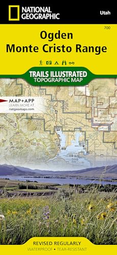
Coverage includes Cache and Wasatch national forests, Wellsville Mountain Wilderness, Ogden, Brigham City, Antelope Island State Park, and Bountiful. Pineview Reservoir with its many recreation points of intertest is also part of the map coverage. The trails in the Wasatch Range from Brigham City in the north to Bountiful in the south are all clearly shown. The recreation opportunities within the Monte Cristo Range are also a primary feature of this map. Includes UTM grids for use with your GPS unit.
Latest Price Updates